
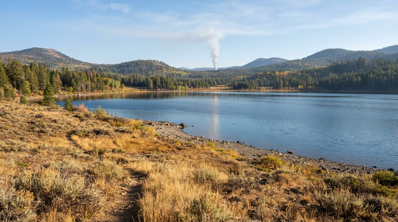
Lassen County prescribed burns 2026 are an important fall travel update for visitors planning trips around Eagle Lake, Susanville, Ravendale, and the county’s northern public lands. The Bureau of Land Management announced multiple prescribed fire operations on BLM-managed land beginning as early as October 1, with work continuing through fall, winter, and spring when weather and fuel conditions allow.
The planned work includes understory broadcast burning north of Eagle Lake at Bald Hills and Heavey Mountain, along with pile burning at North Horse Mountain near Ravendale. Smoke may be visible from nearby communities and several travel routes, including State Route 139, County Route A-1, Termo Grasshopper Road, U.S. Highway 395, and Horse Lake Road.
This guide explains where the 2026 burns are planned, why agencies use prescribed fire, and how travelers can adjust Eagle Lake and Lassen County plans when smoke or active operations affect a route.
Where the Lassen County Prescribed Burns 2026 Are Planned
The Bureau of Land Management’s Eagle Lake Field Office announced the projects on September 28, 2026. According to the agency, the work is intended to reduce hazardous fuels, improve wildlife habitat and livestock grazing conditions, help protect communities near public lands, and improve firefighter safety and effectiveness if a wildfire occurs later.
The operations are divided into two main types. Understory broadcast burns are planned north of Eagle Lake, while hand-pile burns are planned farther north near Ravendale. Each method addresses different vegetation and fuel conditions.
Bald Hills and Heavey Mountain North of Eagle Lake
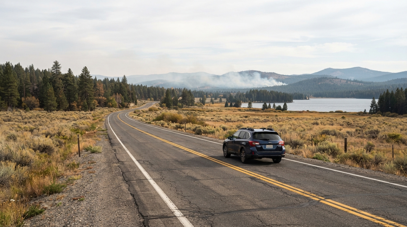
Understory broadcast burning is planned at Bald Hills and Heavey Mountain north of Eagle Lake during the fall and spring. The timing is weather dependent. Fire managers need suitable fuel moisture, wind, temperature, air-quality conditions, staffing, and other operational factors before ignition can begin.
Eagle Lake remains one of Lassen County’s most recognizable recreation areas. Visitors use the lake for fishing, boating, camping, walking, cycling, birdwatching, and scenic drives. If your trip includes the south shore, review our Eagle Lake recreation guide for general planning information, then verify current fall access and facility status before departure.
What Travelers May See Along SR 139 and Eagle Lake Road
The BLM says smoke from the Bald Hills and Heavey Mountain operations may be visible near Stones Landing and Spaulding. Motorists may also see smoke while traveling State Route 139, County Route A-1, also known as Eagle Lake Road, and Termo Grasshopper Road.
Smoke can reduce visibility even when the fire itself is some distance away. Slow down when visibility drops, turn on headlights when appropriate, increase following distance, and avoid stopping in the travel lane to photograph fire operations. Fire engines and agency vehicles may need clear access along rural roads.
North Horse Mountain Pile Burns Near Ravendale
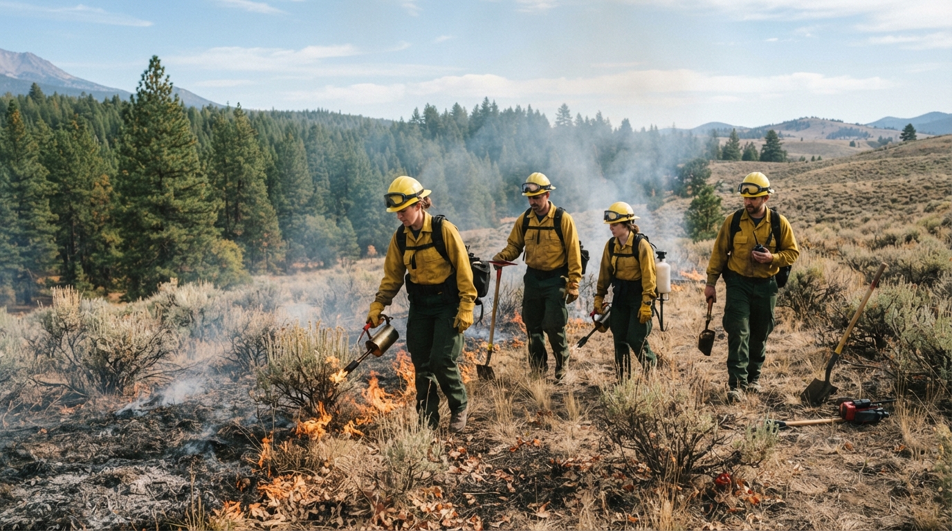
The second part of the program involves prescribed pile burns at North Horse Mountain near Ravendale. These hand piles were created during hazardous-fuel reduction and sage-steppe restoration work that included removal of juniper trees. The BLM plans to burn the piles through fall, winter, and spring when adequate moisture is present.
Smoke may be visible around Horse Lake and Ravendale and from U.S. Highway 395 and Horse Lake Road. That matters for travelers because Highway 395 is an important north-south route through northeastern California. Even when the highway remains open, smoke can make the landscape look more active than a typical fall travel day.
Do not enter work areas or approach burning piles for a closer photograph. A pile that looks inactive from a distance can still contain heat, and crews need room to move equipment safely.
Why Prescribed Fire Is Used in Lassen County
Prescribed burning is one part of a broader fuels-management strategy. Vegetation can accumulate as grasses, brush, branches, small trees, and other combustible material. Under suitable conditions, carefully managed fire can reduce part of that fuel before it contributes to a more severe wildfire.
The Bureau of Land Management’s California prescribed-fire information explains that these treatments can reduce surface and ladder fuels, support native vegetation, protect habitat, improve landscape resilience, and give firefighters safer conditions during future wildfire response.
Prescribed Fire Is Different From a Wildfire
A prescribed fire is intentionally planned and carried out under an approved burn plan. Managers identify acceptable weather and fuel conditions, required personnel, equipment, control features, and smoke-management considerations. Operations proceed only when conditions meet the plan.
Even so, prescribed operations can affect a visitor’s experience. Smoke may obscure mountain views, create an odor around recreation areas, or make strenuous outdoor activity less comfortable. People who are sensitive to smoke should be particularly conservative and use current air-quality information when deciding how much time to spend outdoors.
For broader preparation during fire season, read our Lassen County wildfire safety and travel planning guide. Many of the same habits remain useful in fall: keep extra fuel in the vehicle, save maps offline, carry water, and have an alternate destination ready.
How to Plan a Fall Trip Around Smoke and Fire Operations
Fall can be an excellent time to explore Lassen County. Cooler daytime temperatures can make hiking and cycling more comfortable, the Susan River Canyon may show seasonal color, and summer crowds often decrease. However, autumn also brings shorter daylight, colder nights, changing weather, the possibility of early snow at higher elevations, and active land-management work.
The best strategy is to build a trip that can change without falling apart. Avoid putting every important activity in the same geographic area. If smoke is concentrated north of Eagle Lake, spend more time around Susanville or another open destination. If conditions are clear, continue with the original plan while staying away from active work zones.
Build a Flexible Eagle Lake and Susanville Itinerary
If Eagle Lake is your main destination, begin with an early conditions check. Confirm road access, weather, wind, smoke, campground or day-use status, and any agency notices. Then choose one main activity rather than trying to fit boating, fishing, hiking, and a long scenic drive into the same day.
Keep Susanville as a practical fallback. A lower-commitment day can include local parks, history stops, a short walk, or a section of the Bizz Johnson Trail when conditions there are suitable. Our Bizz Johnson Trail guide explains the main trailheads, tunnel preparation, and route options near Susanville.
Travelers staying for two days can also use the Lassen County weekend itinerary as a base and adjust the order of activities according to smoke and road conditions. Flexibility is more useful than trying to preserve a schedule that no longer matches the day’s conditions.
Check Conditions Before Every Drive
Before leaving Susanville, Eagle Lake, or another developed area, check the latest information from the agency responsible for your destination. Review weather, air quality, road status, fire restrictions, and active incident information. Do not rely on an old screenshot or a social-media post without a date.
Keep the fuel tank comfortably above empty because detours in rural Lassen County can add considerable distance. Download maps for offline use, carry drinking water and warm layers, and tell someone where you plan to travel if the route enters a remote area. Mobile reception can weaken outside developed communities.
If smoke becomes dense, visibility drops sharply, ash begins falling, or emergency vehicles are moving toward your route, do not continue simply because your itinerary says to. Turn around at a safe location or choose another destination. Never drive through a closure, around a gate, or into an active prescribed-fire work area.
The Lassen County prescribed burns 2026 are a timely reminder that public-land travel is shaped by active management as well as weather. The Bald Hills and Heavey Mountain burns north of Eagle Lake and the North Horse Mountain pile burns near Ravendale are planned to reduce hazardous fuels and support healthier, more resilient landscapes.
Visitors can still enjoy Lassen County by checking official conditions, allowing extra travel time, and keeping alternatives ready. Treat visible smoke as a reason to gather current information rather than panic, respect fire crews and closures, and let the day’s actual conditions determine the safest and most enjoyable route.