
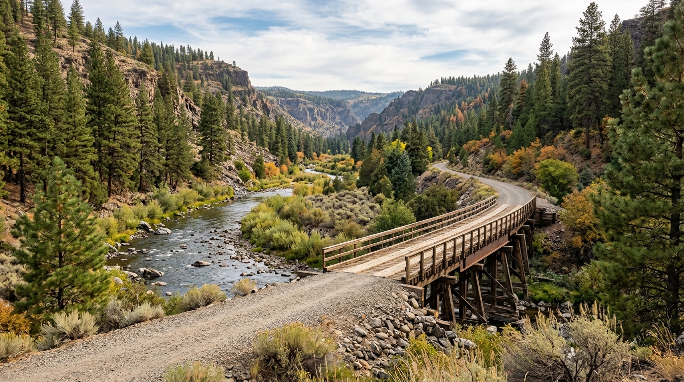
The complete trail is 25.4 miles long, but visitors do not need to cover the entire route to enjoy it. Many of the most accessible and scenic experiences begin close to Susanville. You can walk from the depot toward Hobo Camp, arrange a one-way ride from Devil’s Corral, or plan a longer bicycle trip from the western end back toward town. The right option depends on your time, transportation, fitness, weather, and current trail conditions.
This guide explains the main trailheads, popular route choices, what to bring, and how to plan responsibly. Before traveling, confirm current conditions with the Bureau of Land Management because rockfall, muddy surfaces, maintenance work, fire restrictions, smoke, snow, or seasonal access can affect specific sections.
Understanding the Bizz Johnson Trail Route
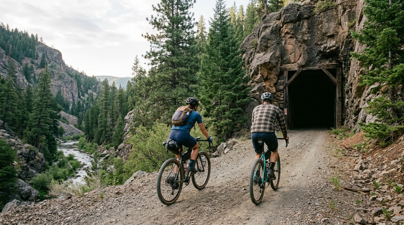
The trail follows the former Fernley and Lassen Branch Line, a railroad corridor once connected with the region’s logging history. For approximately the first 16 miles west of Susanville, the route stays close to the Susan River and passes through the rugged canyon. Along the way, it crosses the river on historic bridges and trestles and travels through two unlighted railroad tunnels. Farther west, the scenery gradually changes from river canyon to drier upland pine forest.
The gentle grade is one of the trail’s biggest advantages. It makes the route less steep than many mountain trails, although the total distance, elevation, weather, loose gravel, and remoteness still matter. Travelers moving from the western end toward Susanville generally benefit from a mostly descending route after reaching Westwood Junction. Riders heading west from Susanville face a gradual but persistent climb.
Use the site’s Bizz Johnson Trail attraction page for a concise listing, then browse Susanville, other Lassen County attractions, and the Outdoor Recreation archive when building a longer itinerary.
Choosing the Best Trailhead for Your Visit
The Susanville trailhead and historic railroad depot at 601 Richmond Road provide the most convenient starting point for first-time visitors. This eastern end gives direct access from town and works well for an out-and-back walk or bike ride. The nearby caboose trailhead is useful for visitors who want to park and begin quickly without stopping at the depot.
Susanville Depot to Hobo Camp
For a short introduction, begin near the depot and travel west toward Hobo Camp. Hobo Camp sits about 0.6 miles west of Susanville along the trail and includes picnic facilities, restrooms, river access, and connections to the South Side Trail. This section is practical for families, casual walkers, photographers, and travelers with limited time. Hobo Camp also has a short wheelchair-accessible gravel path through the picnic area that connects with the Bizz Johnson Trail, although conditions beyond that developed segment can vary.
Because this section begins close to town, it is easier to combine with local dining, the Lassen Historical Museum, or another stop in Susanville. Visit the Susanville community page to organize those nearby activities.
Hobo Camp to Devil’s Corral
Travelers looking for a more substantial outing can continue west through the Susan River Canyon toward Devil’s Corral, located about seven miles west of Susanville. This section delivers much of the scenery people associate with the Bizz Johnson Trail: river bends, canyon walls, historic railroad structures, forest shade, and opportunities to connect with the South Side Trail.
Devil’s Corral has trail access, a picnic table, and a vault toilet. Some visitors arrange a shuttle to the trailhead and then hike or bike back toward Hobo Camp or Susanville. This reduces backtracking and usually places the traveler on a generally descending route toward town. Lassen Rural Bus may provide service along the corridor and can carry a limited number of bicycles, but schedules and bike capacity must be confirmed directly before relying on the bus.
Planning a Longer Ride or Full-Trail Adventure
A full point-to-point trip requires more preparation than the gentle grade might suggest. The trail passes through rural terrain without towns or regular services along much of the route. Carry enough water, food, repair supplies, navigation, sun protection, and clothing for changing conditions. Phone reception may be unreliable, and a puncture or mechanical issue can create a long walk.
Many cyclists arrange transportation to Mason Station or another western access point and ride east toward Susanville. The route climbs moderately toward Westwood Junction before beginning a longer descent through the canyon. A gravel, hybrid, or mountain bike with wider tires is generally more comfortable than a narrow-tire road bike. Riders should also be prepared for bridge decking, loose gravel, dark tunnels, livestock or horses, and other trail users.
What to Expect Inside the Tunnels
The railroad tunnels are distinctive trail features, but they are unlighted and can feel much darker than expected during bright daylight. Carry a working headlamp or bicycle light rather than relying only on a phone. Slow down before entering, remove sunglasses, watch for uneven surfaces, and leave enough distance between riders. Water, ice, debris, or other users may be difficult to see until you are close.
Do not stop in the center of a tunnel for an extended photo session. Move to a safe position where approaching hikers, cyclists, or equestrians can pass. A rear light or reflective clothing can also improve visibility, especially during early morning, evening, smoke, or cloudy weather.
Bike, Hiking and Horseback-Riding Etiquette
The Bizz Johnson is a shared non-motorized trail, so courtesy matters. Cyclists should reduce speed near walkers and horses, announce their approach early, and avoid sudden movements. When meeting equestrians, speak calmly and ask the rider how they would like you to pass. Hikers should keep to a predictable side of the trail and avoid blocking bridges or tunnel entrances.
Keep dogs controlled and pack out pet waste, particularly at busy trailheads and picnic areas. Respect private property beside the route and remain on designated trails. During wet or muddy conditions, postpone the trip if your tires, boots, or horse hooves are creating deep ruts or holes. Damage left in soft surfaces can harden into hazards for everyone.
When to Visit and What to Bring
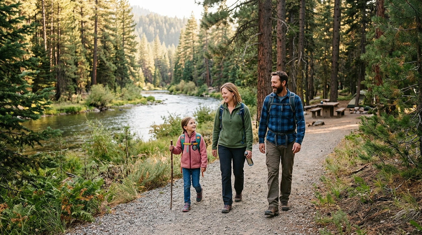
Spring can bring flowing water, cooler temperatures, and fishing opportunities, but snowmelt and rain may also create mud or high river conditions. Summer offers long daylight hours, yet exposed stretches can become hot and dry, and wildfire smoke or restrictions may affect access. Autumn is especially popular for cooler weather and fall color in the river canyon. Winter can support snowshoeing and cross-country skiing when snow cover is adequate, but ice, snow, removed seasonal bridges, and unmaintained access require additional planning.
For summer travel, start early, carry more water than you think you will need, and review the Lassen County summer wildfire safety guide. For seasonal ideas beyond the trail, browse Seasonal Guides and the site’s parks directory.
A Practical Checklist for the Bizz Johnson Trail
- Download or print the official trail map before leaving town.
- Confirm trail, road, smoke, weather, and fire conditions.
- Carry water, food, sun protection, layers, and a basic first-aid kit.
- Bring a headlamp or bicycle light for the tunnels.
- For cycling, carry a spare tube, pump, tire levers, and repair tools.
- Choose a wide-tire bicycle suitable for dirt and gravel surfaces.
- Tell someone your route, trailhead, and expected return time.
- Arrange and confirm shuttle transportation before beginning a one-way trip.
- Stay off muddy sections when your travel is damaging the surface.
- Pack out all rubbish and leave historic structures undisturbed.
The Bureau of Land Management’s official Bizz Johnson Trail page provides the trail overview, current agency contact details, maps, regulations, and links to individual trailheads. Check that source shortly before your visit rather than relying only on an older saved itinerary.
The Bizz Johnson Trail can be as simple as a riverside walk near Susanville or as ambitious as a full point-to-point ride. That flexibility is exactly what makes it one of Lassen County’s strongest outdoor attractions. Choose a route that matches the weakest member of your group, prepare for changing conditions, and leave enough time to enjoy the bridges, tunnels, river scenery, and railroad history without rushing.