
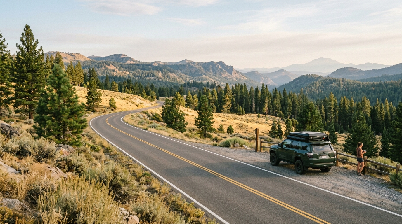
This guide explains how to plan a safer, more flexible Lassen County summer trip. It focuses on practical preparation rather than real-time emergency reporting. Conditions can change after publication, so always follow evacuation orders, closure notices, and instructions from public-safety agencies.
Why Summer Conditions Require Extra Planning in Lassen County
Lassen County covers a broad landscape of high desert, forest, lakes, valleys, ranchland, and mountain terrain. Distances between services can be longer than they appear on a map. Cell coverage may weaken outside developed communities, and alternate routes may require extra fuel and travel time. These factors become more important during wildfire season because a road closure or smoke plume can quickly change the safest direction of travel.
Before choosing a destination, browse the site’s parks directory, attractions directory, and community pages. These sections can help you build an itinerary with several options in different parts of the county. You can also review more seasonal advice in Trip Planning and Outdoor Recreation.
Start With Official Alerts, Not Social Media Rumors
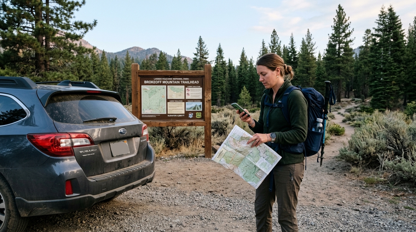
Local social posts can be useful for seeing what residents are experiencing, but they should not be your primary source for evacuation zones, fire perimeters, closures, or public-safety instructions. Old screenshots are often reshared without dates, and a dramatic photograph may come from a different location. Official incident pages and agency alerts are more dependable because they identify the affected area, update time, and responsible agency.
Check Active Fires and Evacuation Information
Review the CAL FIRE incidents map before leaving your accommodation and again before entering a remote area. Look for active incidents in Lassen County and neighboring counties because smoke, road restrictions, and emergency traffic can cross county lines. Do not rely only on a containment percentage. A fire can be mostly contained while smoke, equipment, damaged roads, or evacuation warnings still affect nearby travel.
If an evacuation warning covers your destination, reconsider the outing. Visitors who are unfamiliar with local roads should not wait for conditions to become urgent. An evacuation order means leave immediately and do not enter the closed area. Keep enough fuel to change routes, and avoid parking along narrow roads used by fire engines, law enforcement, utility crews, or livestock trailers.
Review Forest, Trail and Private-Land Closures
Public access is managed by several organizations, so one website may not show every restriction. Check the Lassen National Forest alerts page for forest orders, recreation-site restrictions, bridge problems, fire rules, and road notices. For Bureau of Land Management destinations, use the current information on the relevant BLM recreation page. Also remember that private timberlands and ranch roads may close independently of nearby public land.
A closure is not a suggestion. It may protect visitors from active fire, falling trees, unstable slopes, damaged bridges, suppression work, or limited emergency access. Do not drive around gates or follow an unofficial shortcut shown by a navigation app. Download an offline map, but compare it with current agency information before treating any route as available.
Build a Flexible Itinerary With Safer Alternatives
A good summer plan has a primary destination, a nearby alternative, and a low-commitment option closer to town. For example, a visitor may plan a longer trail outing but keep a Susanville park, museum, or short walk as a backup. This approach reduces the temptation to enter an area that feels unsafe simply because the day was organized around one attraction.
Plan outdoor activities early when temperatures are usually lower and afternoon winds or thunderstorms may be less developed. Keep the schedule realistic. A scenic drive, picnic, and short walk can be a better choice than a remote full-day hike when smoke is increasing or visibility is declining.
Choose Alternatives That Fit the Actual Conditions
When one area is affected, do not assume the nearest alternative is automatically safe. Check whether it lies downwind, shares the same access road, or depends on the same emergency services. A location on the other side of the county may offer clearer air, but the drive could pass through a restricted zone. Confirm the complete route, not only the destination pin.
Consider indoor or in-town options when air quality is poor. Local history, community spaces, and shorter attractions can still make the day worthwhile. Browse History and Culture articles or use the Susanville page to organize a lower-risk day near services. Families, older travelers, and anyone with respiratory or mobility concerns should be especially conservative when smoke, heat, or emergency traffic increases.
How to Explore Lassen County More Safely During Wildfire Season
Preparedness does not require turning a day trip into an expedition. A few practical steps can prevent common problems. Tell someone where you are going, carry more water than you expect to need, keep the vehicle above half a tank, and save important maps before losing reception. Avoid activities that could create sparks, and follow all seasonal restrictions on campfires, charcoal, smoking, generators, target shooting, and vehicle access.
Never stop on dry grass with a hot exhaust system. Use established parking areas and avoid dragging chains from trailers. If you smell smoke or notice ash falling, move toward a developed route while checking official information. Do not drive closer to take photographs of a fire. Sightseeing near an incident can interfere with evacuations and emergency operations.
Prepare for Smoke, Heat and Remote Travel
Wildfire smoke does not always remain near the flames. Wind can move it across valleys and into recreation areas many miles away. Conditions may also shift during the day. A clear morning can become hazy by afternoon, while another location may improve after a wind change. Check air quality, but also pay attention to what you can see and feel. Burning eyes, coughing, headache, unusual fatigue, or rapidly decreasing visibility are reasons to shorten the outing.
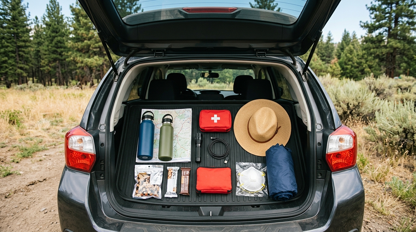
Carry drinking water, simple food, medications, a first-aid kit, flashlight, charging cable, paper or offline map, and a properly fitted particulate respirator for smoke emergencies. A mask does not make strenuous exercise safe in unhealthy air, but it can provide an additional layer of protection while leaving an affected area. Pets also need water, shade, secure transport, and a plan for evacuation.
Summer temperatures vary across elevation and terrain. High-desert locations can feel hot and exposed, while evenings near lakes or higher ground may cool quickly. Pack sun protection and a light warm layer. Thunderstorms can bring lightning, gusty outflow winds, and sudden rain even when the day began clear. Leave exposed ridges, open water, and isolated trees when thunder is nearby.
Use This Final Checklist Before Departure
- Check CAL FIRE incidents, evacuation zones, weather, smoke, and air quality.
- Review Forest Service, BLM, park, county, and road alerts for the exact route.
- Confirm that the destination, trailhead, campground, and access road are open.
- Save maps offline and share your route and expected return time.
- Carry extra water, fuel, medications, food, sun protection, and a flashlight.
- Keep a backup destination near a developed community.
- Follow all restrictions involving fire, smoking, generators, vehicles, and closures.
- Turn around early when smoke, wind, heat, or emergency activity increases.
Lassen County remains a rewarding place to explore during summer, but the best trip is one that can adapt. Treat official alerts as part of normal travel planning, not as an inconvenience. Leave room in the schedule, choose destinations based on the day’s actual conditions, and never enter a closed or evacuated area.
For more ideas, explore the site’s local parks, attractions, and places across Lassen County. Then verify the latest conditions with the agency responsible for the land you plan to visit. Careful preparation protects visitors, residents, firefighters, and the landscapes that make Lassen County worth discovering.